Wave period for coastal sailors: what do the seconds mean?
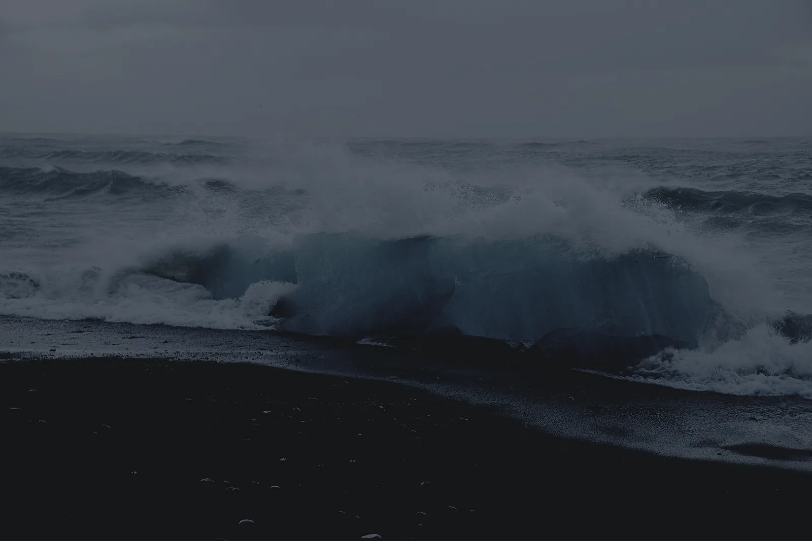
Wave period is the time, in seconds, between successive wave crests passing a fixed point. If a forecast shows an eight-second period, it describes the spacing in time of a wave system; it does not mean every wave will arrive at exactly eight-second intervals. The US National Weather Service (NWS) glossary defines wave period this way and distinguishes locally generated wind waves from swell.
How is period different from wave height?
Wave height measures from trough to crest. Period measures the time between passing crests. A forecast needs both because two sea states with the same reported height can feel different to a boat. The NWS marine FAQ notes that, for a given wave height, shorter periods can increase the hazard to smaller vessels. That is a general relationship, not a universal safe/unsafe threshold.
For example, compare a forecast of one-metre waves at five seconds with one-metre waves at ten seconds. The first may be more closely spaced and abrupt in open water. The second is not automatically comfortable: long-period swell can grow steeper or break as it meets shallow water, a harbour entrance or an opposing current. Read height, period and direction together, then account for the boat and the local coast.
Are wind waves and swell the same thing?
No. Wind waves form under local wind. Swell is wave energy that has travelled away from where it formed. A place can have both at once, sometimes coming from different directions. The NWS marine definitions describe that distinction; its marine FAQ explains that a combined sea forecast reflects both systems.
This is why a calm local wind reading does not settle the sea-state question. A distant swell may still be arriving. Conversely, a fresh local wind may create short, steep waves even when distant swell is modest.
Does a forecast show one period for every wave?
Usually not. A sea surface contains a range of wave heights and periods. Some reports show a dominant period, associated with the strongest wave energy, while others label an average or a separate swell period. Read the label on the particular forecast instead of treating every number marked “period” as interchangeable. The NWS glossary distinguishes average and dominant wave-period terms.
Likewise, a reported sea height is often significant wave height: the average of the highest third of waves, not the maximum wave that can occur. Individual waves can be larger. The NWS marine FAQ explains this convention and warns that shallow water and opposing currents can alter wave behaviour near shore.
What should I check before a coastal passage?
- Compare wave height, period and direction for the departure area, exposed sections and destination.
- Look at wind, gusts and current, especially near headlands, shoals and harbour entrances.
- Check the latest official marine forecast, warnings and observations for the whole operating area. A single point forecast may not describe the full route.
- Reassess conditions on the water. Forecasts describe expected conditions, not each wave your boat will meet.
MARLOG's Forecast displays wind and marine information, including swell period, for a chosen point. Its Home sailing window shows a 12-hour wind trend and does not grade the safety of the sea. Use the fuller view to compare conditions, then use official forecasts and your own judgement for the trip. Explore MARLOG Forecast or get MARLOG for iPhone.
Sources: NWS wave glossary; NWS marine forecasts FAQ; NWS marine definitions; NWS period glossary. MARLOG feature wording was checked against its live Forecast page on September 22, 2026.